Running models : Working with visualisation tools : Polygon diagram
Polygon diagram
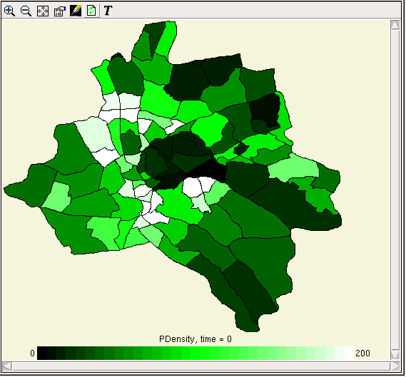
This tool enables a dataset to be displayed as the colours of polygonal areas on a map. It can be used either where vector data for an actual map is available (either in the model, or in a separate file), or where an area is represented as some regular set of shapes whose vertices can be calculated by the model, e.g. hexagonal tiling.
A lot of the functionality of the polygon helper, including scrolling and zooming, working with the colour legend, and using it to edit model parameter values, is exactly the same as for the grid helper. However, the graphics of the polygon helper are not quite as fast, so you are more likely to need the 'freeze display' and 'manual update' features.
Loading co-ordinates from file
If you choose this option you will get a file selector to locate the data for the coordinates. If you choose a file with the extension .dxf, Simile will attempt to load it as a DXF file, and will then colour the polygons in the order in which they are defined in the file. Otherwise, Simile currently expects the file to contain all the X coordinates in nested list form, followed by all the Y coordinates. This is not particularly convenient, so we should add the option to set the coordinates from file using the table data dialogue too.
Loading co-ordinates from model
Of course you can put fixed parameters in the model and load them using the table data dialogue, then use them to set the boundaries of the polygons. If you choose this option, you will be asked to select model elements representing the X and Y coordinates of the polygon vertices. These elements should have two-dimensional data arrays, with the outer index being the number of the polygon whose border they define, and the inner index being the number of the vertex around that polygon. There should be the same number and arrangement of X and Y coordinates.
The usual way to get the coordinates is to have a submodel for the vertices inside the submodel representing the polygons. This should be a per-record submodel if different polygons have different numbers of vertices. Put fixed parameters for Xs and Ys inside the vertices submodel.
In: Contents >> Running models >> Working with helpers